Project Overview
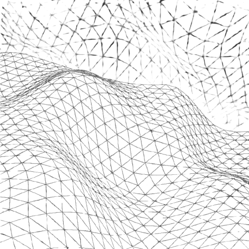
This initiative focused on optimizing the bridge between raw aerial drone data and construction-ready CAD documentation. By leveraging reality capture, I established a streamlined pipeline that transforms complex site survey data into high-precision topography models, ensuring greater accuracy for municipal utility and grading projects.
Stack & Execution
The technical workflow was developed using Dronelink for flight planning and reality capture, with data processed for integration into AutoCAD/Civil 3D environments. Execution focused on data integrity and georeferencing precision, ensuring that site surveys aligned with established engineering standards and minimized errors during the initial grading and layout phases.
Role & Contribution
Acting as both Pilot and Lead Designer, I managed the end-to-end reality capture process—from flight mission planning to data processing and CAD integration. My role involved ensuring all aerial survey data met strict tolerance requirements, providing accurate baseline topographical information essential for subsequent infrastructure design and site development.



Let’s Build Something Precise
Ready to bring technical expertise and production drafting to your team? Let’s collaborate.