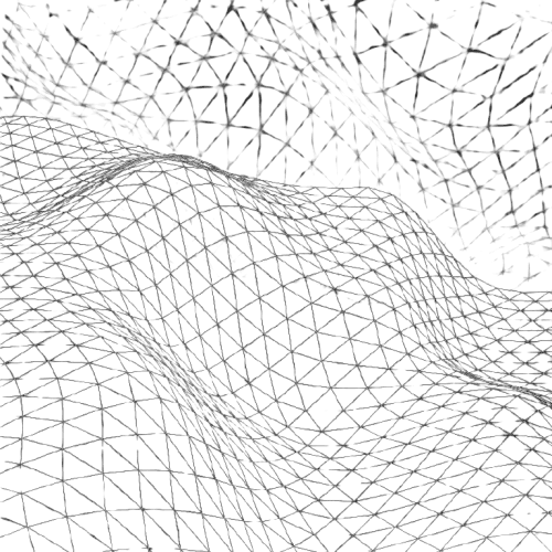
Municipal Utility Layout Drafting

Project Overview

GridOS was an animation-focused project delivered in October 2024. The goal was to develop a dynamic and visually engaging interface that emphasized movement, layering, and modularity. It served as a creative study in balancing functionality with fluid motion.


Stack & Execution

Using Webflow as the primary builder and GSAP for advanced animations, the interface came to life with a rhythm of transitions, hover states, and section-based motion triggers. The design prioritized responsiveness and seamless visual feedback across all breakpoints.


Role & Contribution

As the UI Designer and Animator, I focused on the visual language and kinetic behavior of the product. Every animation was crafted to feel purposeful—enhancing clarity while elevating the brand’s overall presence through bold, expressive motion.

Key Challenges and Technical Solutions


Challenge: Non-Perpendicular Alignment Skew


Solution: Configured multi-baseline corridor regions and assigned custom curb return alignments/profiles. Used horizontal width and vertical elevation targets along curb returns to ensure smooth, natural pavement transitions through the skewed quadrants.


Challenge: Primary Crown and Secondary Elevation Tie-Ins


Solution: Maintained the primary roadway’s continuous crown profile through the intersection while dynamically matching the secondary roadway approach grades to the edge of the primary lane, preventing abrupt grade breaks and drainage pockets.


Challenge: Terrain Daylighting and Surface Integration


Solution: Applied subassembly daylighting targeted to the Existing Ground (EG) surface across varying side slopes. Extracted corridor feature lines to generate a refined finished ground (FG) surface with smooth contour continuity.

Key Challenges and Technical Solutions


Challenge: Non-Perpendicular Alignment Skew


Solution: Configured multi-baseline corridor regions and assigned custom curb return alignments/profiles. Used horizontal width and vertical elevation targets along curb returns to ensure smooth, natural pavement transitions through the skewed quadrants.


Challenge: Primary Crown and Secondary Elevation Tie-Ins


Solution: Maintained the primary roadway’s continuous crown profile through the intersection while dynamically matching the secondary roadway approach grades to the edge of the primary lane, preventing abrupt grade breaks and drainage pockets.


Challenge: Terrain Daylighting and Surface Integration


Solution: Applied subassembly daylighting targeted to the Existing Ground (EG) surface across varying side slopes. Extracted corridor feature lines to generate a refined finished ground (FG) surface with smooth contour continuity.

Key Challenges and Technical Solutions


Challenge: Non-Perpendicular Alignment Skew


Solution: Configured multi-baseline corridor regions and assigned custom curb return alignments/profiles. Used horizontal width and vertical elevation targets along curb returns to ensure smooth, natural pavement transitions through the skewed quadrants.


Challenge: Primary Crown and Secondary Elevation Tie-Ins


Solution: Maintained the primary roadway’s continuous crown profile through the intersection while dynamically matching the secondary roadway approach grades to the edge of the primary lane, preventing abrupt grade breaks and drainage pockets.


Challenge: Terrain Daylighting and Surface Integration


Solution: Applied subassembly daylighting targeted to the Existing Ground (EG) surface across varying side slopes. Extracted corridor feature lines to generate a refined finished ground (FG) surface with smooth contour continuity.

Civil 3D Workflow Highlights


  • Multi-Baseline Corridor Modeling: Managed multiple alignments, profiles, and corridor regions within a single integrated network.

  • Target Mapping Controls: Applied horizontal width and vertical elevation targets along curb returns to automate pavement transitions.

  • Assembly Customization: Configured standard lane, curb/gutter, and daylighting subassemblies to maintain grade consistency.

  • Surface Extraction & Daylight Ties: Generated finished ground (FG) surfaces using corridor feature lines and tied cut/fill slopes back into existing ground (EG) contours.

Civil 3D Workflow Highlights


  • Multi-Baseline Corridor Modeling: Managed multiple alignments, profiles, and corridor regions within a single integrated network.

  • Target Mapping Controls: Applied horizontal width and vertical elevation targets along curb returns to automate pavement transitions.

  • Assembly Customization: Configured standard lane, curb/gutter, and daylighting subassemblies to maintain grade consistency.

  • Surface Extraction & Daylight Ties: Generated finished ground (FG) surfaces using corridor feature lines and tied cut/fill slopes back into existing ground (EG) contours.

Civil 3D Workflow Highlights


  • Multi-Baseline Corridor Modeling: Managed multiple alignments, profiles, and corridor regions within a single integrated network.

  • Target Mapping Controls: Applied horizontal width and vertical elevation targets along curb returns to automate pavement transitions.

  • Assembly Customization: Configured standard lane, curb/gutter, and daylighting subassemblies to maintain grade consistency.

  • Surface Extraction & Daylight Ties: Generated finished ground (FG) surfaces using corridor feature lines and tied cut/fill slopes back into existing ground (EG) contours.

Municipal Utility Layout Drafting

December 2026

May 2025

3 Weeks

10 Days

Utility and Civil Drafting

Launch Page

AutoCAD

Framer, Lottie

CAD Technician

Motion Designer & Builder

Projects

Explore Others

More projects designed with precision and purpose.

Projects

Explore Others

More projects designed with precision and purpose.

Projects

Explore Others

More projects designed with precision and purpose.

Let’s Build Something Precise

Ready to bring technical expertise and production drafting to your team? Let’s collaborate.